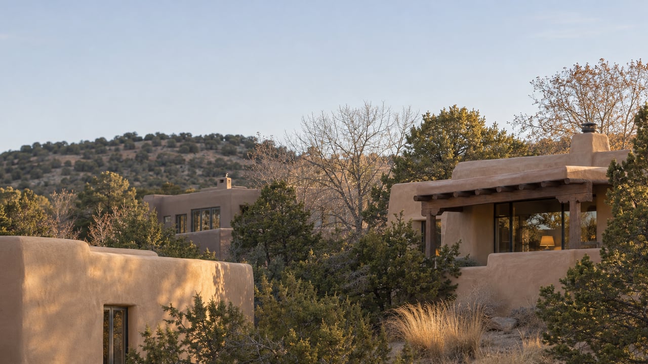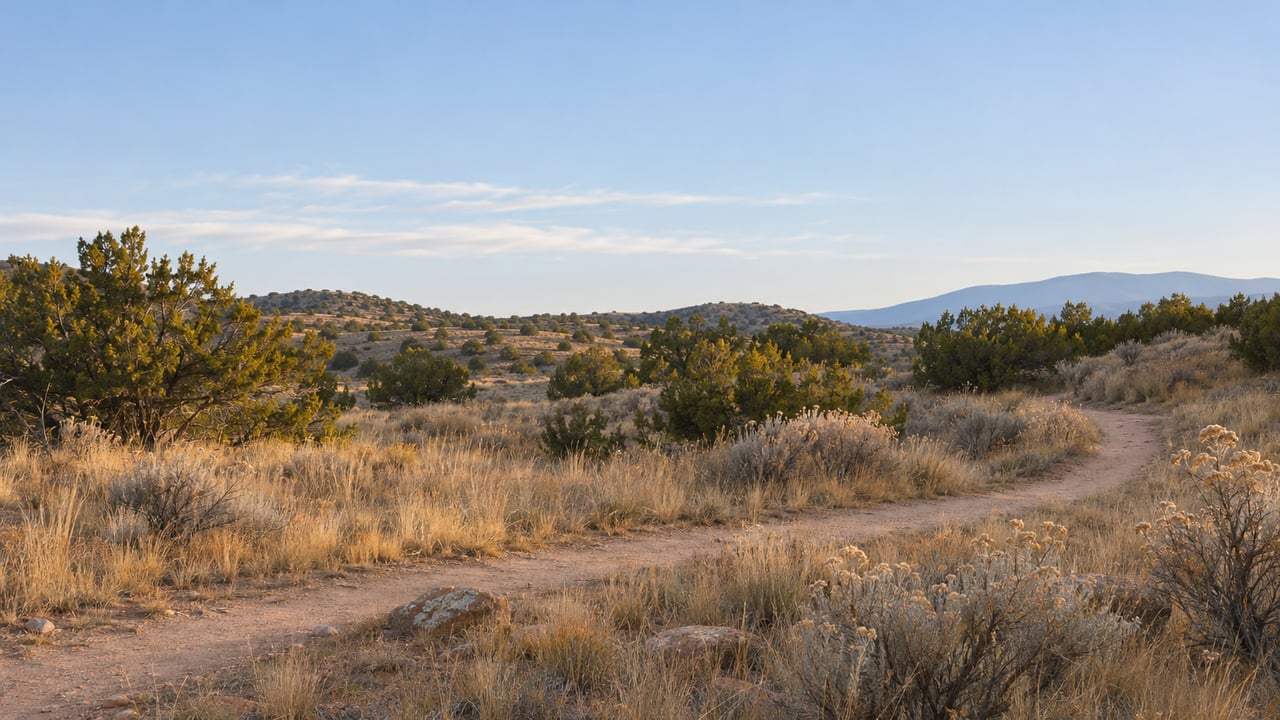
Where Canyon Road meets Upper Canyon Road, coyote fencing surrounds 4.25 acres of paved walkways under tall ponderosa pines. On a weekday you can find someone practicing tai chi in the shade. The people who use the park have described it as a place to dance, walk, and bring children to play. Most of them pass a small stone building at the center without knowing it is the only museum the City of Santa Fe owns.
That is about to change. For close to twenty years, neighbors have worked to rebuild this park as a place that explains where Santa Fe's water and electricity came from. Now the City has final designs for the interpretive signs meant to tell that story, and the state money paying for them has a fixed end date. Over the next several months, the lawn under the pines becomes the museum it was always designed to be.
A Power Plant Built on the River's Water
The City lists the address as 1209 Upper Canyon Road, across from Cristo Rey Church, on the site of one of Santa Fe's original reservoirs. The building is the Santa Fe Hydroelectric Plant. The Santa Fe Watershed Association's chronology dates its construction to 1894 and says it began sending out power in 1895. The system depended on Two-Mile Reservoir and the higher Talaya Reservoir for water pressure.
The mechanism inside is easy to picture. As the Santa Fe New Mexican described it, water came down by pipe from Two Mile Reservoir and struck two Pelton wheels, which turned a generator on site. From there it ran into a settling pond next door before going out through pipes to the city's households. A Pelton wheel still stands inside. The interior walls are painted to show where the pipes once came in.
What the park's supporters most want visitors to understand is where that water came from. Richard Ellenberg of the Canyon Neighborhood Association and the Santa Fe Canyon Preservation Association described it at a 2025 public meeting, as the New Mexican reported. For 350 years, Hispanic farmers worked this part of the canyon, and acequias carried water to their fields. Then the county handed the Santa Fe River's rights to a development company. The watershed chronology puts the date at 1879, when the Santa Fe County commissioners made the grant to the Santa Fe Water and Improvement Company, and says the company was incorporated in 1880. That company promised the town pressurized water and electricity and delivered both through this plant. Development followed, and the farms lost their water.
The plant's lesson is about who owns the river. Water that had moved through democratically run acequias as a shared resource for centuries became a product in the 1880s, sold by the Santa Fe Water and Light Company.
Two Decades of Rebuilding, With the Story Left for Last
The physical restoration came first, and it took a long time.
| Year | What happened |
|---|---|
| 1894–1895 | Hydroelectric plant built and begins distributing power |
| 2006 | City Council funds rehabilitation of the structure and site |
| 2008 and 2010 | City park bond issues pay for restoration work |
| 2012 | Council renames the former Power Plant Park "Water History Park and Museum" |
| 2013 | Historic Santa Fe Foundation designates the plant significant and worthy of preservation |
| 2023 | Legislature awards $350,000 in capital outlay for park improvements |
| July 10, 2025 | Early neighborhood notification meeting on draft signs |
| November 18, 2025 | City design-feedback meeting |
| October 20, 2026 | City and partner present final sign designs at the park |
| June 30, 2027 | Reversion date on the 2023 appropriation |
The 2012 renaming resolution is on the City's archive site. In 2023, the New Mexican reported that about $1.25 million had been spent on the site, from the 2008 and 2010 bonds plus roughly $250,000 from the Legislature, with a little over $1 million more estimated to finish it. By then the plant had been restored and re-electrified for more than a decade. Most of the planned interpretation, though, still existed only in a master plan drafted for the Santa Fe Canyon Preservation Association.
Mac Watson, a Santa Fe native and historic preservationist who lives nearby, has worked on the project for decades. He put the goal plainly in the New Mexican's 2023 story: "We've got a wonderful place for recreation, and I think it's really, really important to get the educational component up and running."
What the Signs Were Drawn to Say
The 2023 legislative session approved the $350,000. When fundraising began, Ellenberg described a cement map behind the building. It would show the acequias that ran through Santa Fe for centuries, color-coded by the period when each one was in use, alongside interactive signs.
At the July 2025 meeting, City Project Manager Scott Overlie, Parks and Open Space Division Director Melissa McDonald, and Greg Icenogle of Davenport Construction Management presented draft designs. These were the main pieces:
- Ten signs placed along the park's walkways, some static and some interactive
- Topics covering the park's history, Canyon Road's history, and the way water moves through Santa Fe, with roots in local water rights and development
- An entry sign built from a water pipe artifact already stored on site, designed so children could climb through it safely
- An interactive water pump
- An acequia gate
The acequia gate ties the park to the wider Eastside. As El Palacio has described, the Acequia Madre begins near the East Alameda and Los Cerros Reservoir area and, when it flows its full length, empties into the Santa Fe River at Agua Fria. Sidewalk follows the ditch at first, and later the Acequia Trail does. A gate on the walkways of a park built where the river's water was taken from the farms gives that history a physical marker in the canyon.
Why the Neighbors' Questions Shaped the Design
The July 2025 meeting was where the people who use the park pushed back. Some saw the signs as a way to draw tourists. Others worried that the signs, the largest drafted at 6 feet across, were too big, or that children might trip over them or that they would get in the way of walking, dancing, and play. McDonald said the signs would sit along the walkways and barely disturb the grass.
State Rep. Reena Szczepanski, D-Santa Fe, who pushed for the funding in the Legislature, answered the tourism concern directly. The New Mexican quoted her:
"This is not being conceived as some kind of new draw, but merely to preserve, for this neighborhood and for everyone who enjoys this park, a bit about where this park came from, about why this land was important, about what this building is about, and so it really was just to ensure that that piece of history wasn't erased."
McDonald said the project group would go through the comments and look for places to change the designs. The City then held a design-feedback meeting on November 18, 2025. On October 20, 2026, it returned to the park itself, with the Canyon Road Preservation Association, to show residents the final designs. In all, the design took three neighborhood meetings over fifteen months, and the last one was held on the lawn the signs will border.
The Deadline Behind the Final Designs
The City's own records set the timeline. In Resolution 2025-7, the City's table of state appropriations lists "SF Water History Park Improvement" at $350,000 from the 2023 session, with a reversion date of June 30, 2027. At the July 2025 meeting, McDonald described it as four years to spend the money.
When this post goes up in mid-November 2026, about seven and a half months remain before that date. With designs final, the remaining work is fabrication and installation along the park's walkways, handled by Davenport Construction Management as the project's contractor.
Questions about the project go to Scott Overlie, Project Manager III with the City's Parks and Open Space Division, at 505-231-6194 or [email protected].
Walking the Water's Route This Winter
The park already has a steward on the ground. In November 2024, the City announced that Santa Fe Prep had joined its Adopt-a-Park program for Water History Park. The program asks groups to help maintain their park for three years.
For a longer walk that follows the water, the dams that fed the plant are farther up the canyon, at The Nature Conservancy's Santa Fe Canyon Preserve near Upper Canyon and Cerro Gordo roads. That site is separate from the City park. According to the watershed chronology, the Old Stone Dam was built in 1881, Two-Mile Dam followed in 1893, and the Old Stone Dam had filled with sediment by 1904. The plant at the bottom of the canyon went up in 1894, one year after Two-Mile Dam, and water from that reservoir came down the pipe to its Pelton wheels.
Upper Canyon Road and the streets along the Acequia Madre carry this water history in their layouts and their old stone walls. If you'd like to talk about how that history shows up in the Eastside homes you own or are thinking about, Plaza Group Santa Fe would be glad to sit down with you. Schedule a Private Consultation.